Google Street View Maps The Grand Canyon With Camera-Backpacks
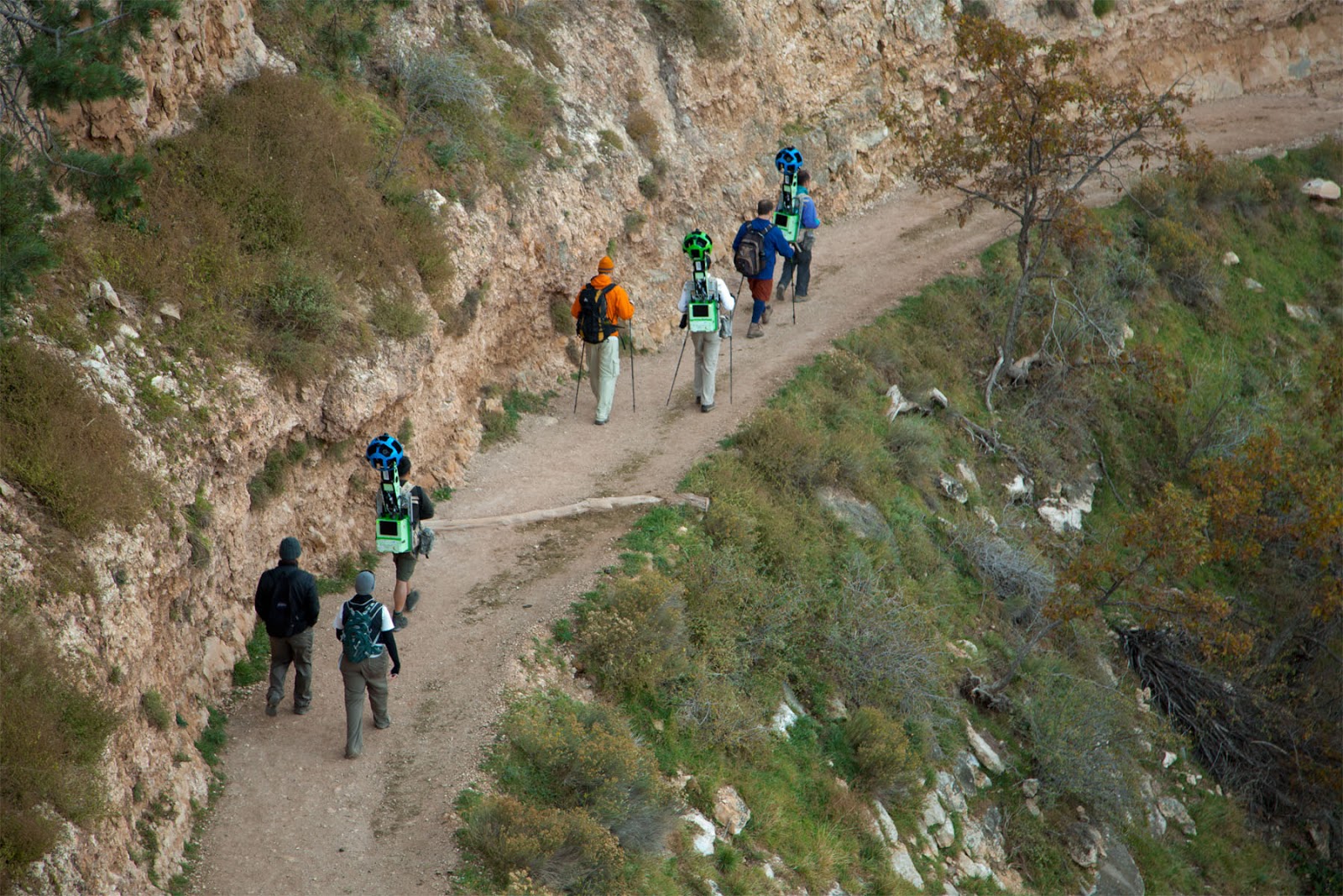
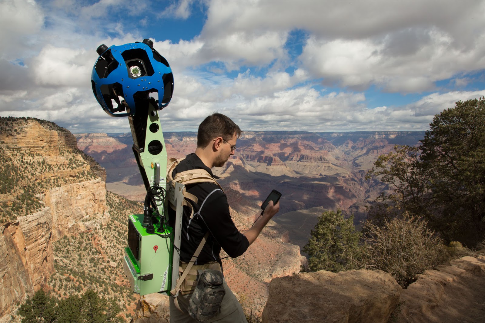
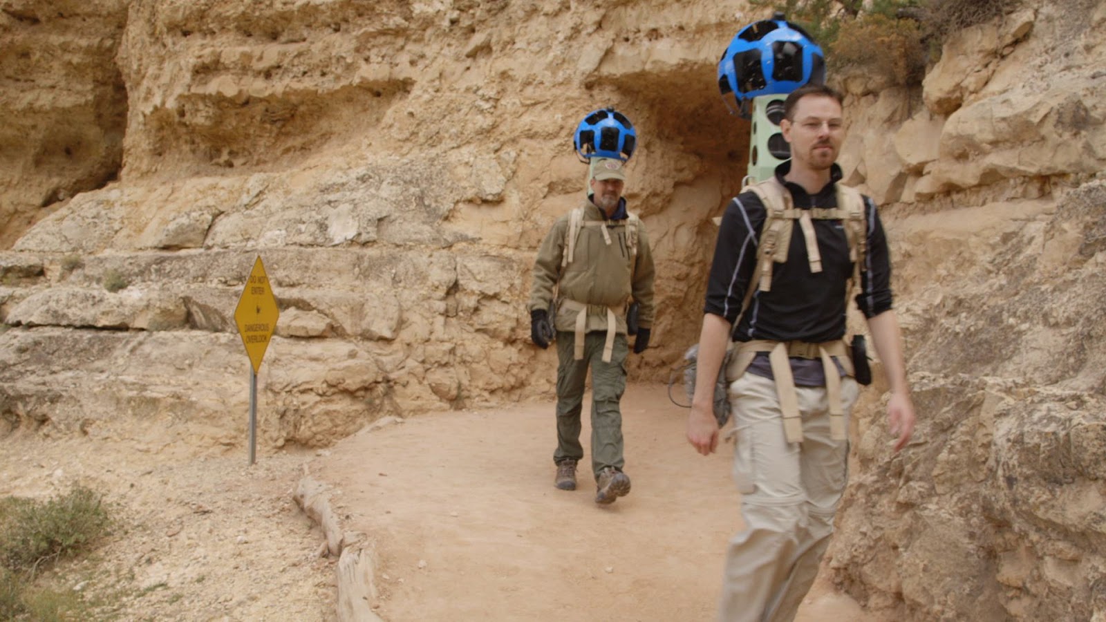
Google has taken to the Grand Canyon with unwieldy backpacks to gather Street View photography, continuing its expansion of Google Maps and cocking a further snook at Apple's upstart iOS rival app. The Street View team is sporting Trekker backpacks, Google writes, complete with bulbous 360-degree cameras that can gather imagery from all angles simultaneously.
Trekker is controlled via an Android smartphone but is generally autonomous, snapping shots as the wearer wanders around. Although Google's Street View photography cars have become a more frequent sighting on roads – Google added 250,000 more miles of coverage earlier this month, for instance – the backpack system is slower but allows for terrain not usually accessible to be recorded.
According to Google, sections of the South Rim – including the ridge, Bright Angel Trail, South Kaibab Trail, and other locations – are all being mapped out. It's not clear how many Trekker cameras the team has taken with it, though there are at least three being used.
Photography from the excursion will be added "soon" Google says, and of course even with Apple replacing Google Maps on iOS with its own Apple Maps, users of iPhones, iPads, and other iOS hardware will be able to access Street View in the browser. While you're waiting, you could always take a Street View tour through one of Google's data centers, where all that photography will soon be residing.


