Yes, Planes Do Fly Over The Pacific Ocean - Here's Why Their Flight Paths Look So Distorted
The Pacific is the largest and the deepest ocean on our planet, stretching over 60 million square miles; that's close to 30% of Earth's entire surface area. The ocean connects the continents of North and South America to Australia and Asia. Considering these continents are some of the most populous places of Earth, is it true that planes don't fly over the Pacific and take a distorted route instead?
The notion that planes avoid the Pacific has been propagated time and again with questionable content on the internet. These articles generally cite the vastness of the Pacific as a safety concern for planes. As many flights from North America to Asia take a distorted flight path over Alaska, rather than going over the Pacific, it makes the safety concern idea seem legit. However, in reality, the distorted flight paths only appear distorted because of the Earth's curvature.
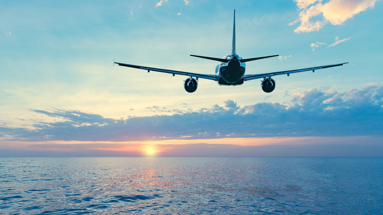
Aviation relies on numerous redundant safety systems to make it one of the safest ways to travel, allowing modern commercial airliners to fly trans-oceanic flights without breaking a sweat. In fact, flights routinely fly over the Pacific for long hours when travelling from America to Australia or New Zealand. The ocean also witnessed some of the most cutting-edge planes during the battle of the Pacific.
The Earth is curved

While conspiracy theorists may want you to believe otherwise, the Earth is almost a sphere (flatter at the poles and wider at the equator). While you may not notice the Earth's curvature when traveling short distances, it becomes way more evident when flying long haul flights stretching thousands of miles. The Earth's curvature results in the seemingly distorted flight paths.
To understand this, pick a globe and locate Tokyo and Vancouver on it. Now take a string and try connecting the two places, ensuring the string remains as taut as possible. Noticed how the string naturally curves over the globe's surface, very similar to how flight paths do? The confusion arises as we generally are accustomed to the 2D projection of our Earth. While the projection works for the most part, it highly distorts the distances between places close and far from the equator. As you might have noticed from the globe's example, the string takes the shortest path, however, seeing it on a 2D world map makes it look distorted. Planes flying over Alaska are just a way to ensure minimal air distance between the source and the destination and has nothing to do with the Pacific's vastness.
Flight paths depend on various other factors
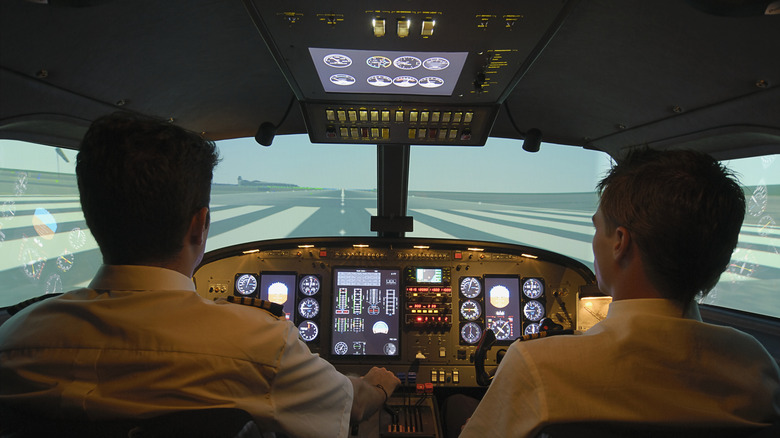
To ensure safer flying, airlines preplan their flight paths, accounting for a variety of factors. Apart from the Earth's curvature, flight paths may seem distorted in order to avoid bad weather, harsh wind, and jet streams.
If you ever track the airspace over the North Atlantic connecting America and Europe, you will find a frenzy of planes flying close to each other in straight lines, almost like following a highway in the sky. That's because many of these planes try to leverage the jet stream flowing from west to east.
A jet stream is a narrow stream of fast blowing wind which is around four to eight miles in height and can reach up to 275 mph in wind speed. Planes flying in the jet stream can cut hours from their journey while also saving fuel. That's the reason why planes flying west to east generally take less time than planes travelling otherwise. Planes may even take a slightly longer route to leverage the jet stream, further distorting their flight paths.