How LiDAR Helped Archaeologists Discover Two Lost Mountain Cities
In ancient Asia, particularly the period spanning from 130 B.C.E. to 1453 C.E., one of the most prominent trade routes in the nation was the Silk Road. Technically, it was only called that after its closure, but the name originated from the fine silk products that were carried across it by merchants, amongst other valuables like wool and precious metals. As the Silk Road was over 4,000 miles long, it goes without saying that there were quite a few cities that lined it.
Due to the simple passage of time and shifting of the land, many of the cities that lined the Silk Road have been lost to the annals of antiquity, buried and moved so extensively that a mere topographical survey would never find them. Luckily, modern archaeologists are well past the point of mere topographical surveys, employing all manner of next-generation science to uncover the mysteries of the past.
The latest of such discoveries occurred just recently in the mountains of eastern Uzbekistan, the findings of which were published in Nature. After an investigation initially sparked by a curious hiker in 2011, archaeologists from the National Center of Archaeology of the Uzbekistan Academy of Sciences made numerous fascinating discoveries, including a full LiDAR map of what were once sprawling Silk Road cities.
LiDAR stands for light detection and ranging
Based on the name, you might think LiDAR is the same or similar to a radar system. The ideas are somewhat similar, except that radar utilizes radio waves, while LiDAR utilizes lasers. That's why it stands for light detection and ranging.
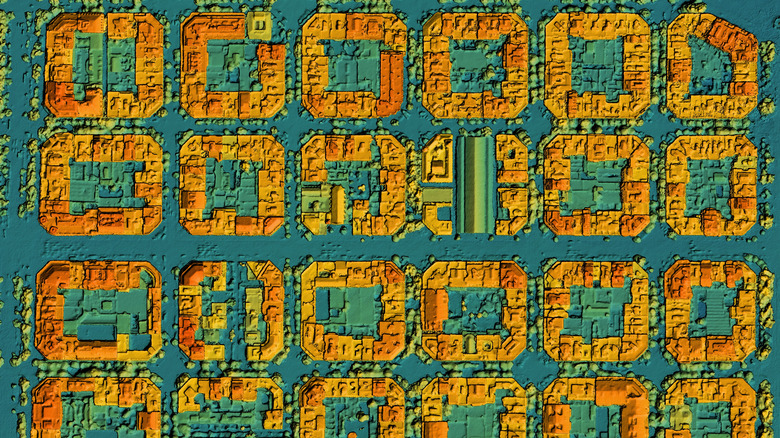
A LiDAR system, which is usually activated from an aerial vantage point like an airplane, a helicopter, or a remote drone, fires a pulsed laser into the ground and then measures how long it takes for the light to bounce back to its point of origin. While this sounds simple, remember that the mere presence of physical matter in particular shapes can affect the movement of light.
By bouncing light in this manner, researchers can see what kinds of solid structures cover a geographical surface, even if said structures are weathered or buried. It's for this particular reason that LiDAR has become an indispensable tool for the archaeology community as it gives them an idea of what might be buried in a place of interest before excavating a site.
With LiDAR, the archaeologists found cities buried beneath a millennium of sediment
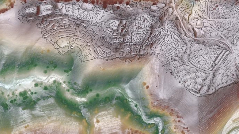
With the help of a drone-mounted LiDAR scan, archaeologists were able to create a rough topographical map of two mountain-bound cities in Uzbekistan, named Tashbulak and Tugunbulak. The scans show massive medieval cities, including the remains of buildings, public roads, fortified city walls, and more. Over the years, the landscape of the area changed drastically, covering these lost cities in loose dirt and sediment. This is why, in the modern age, they merely looked like empty hills at a casual glance.
What makes this discovery interesting is that the cities are located at a particularly precarious altitude, where even the most seasoned travelers of the Silk Road wouldn't venture without a good reason. In addition to the LiDAR scans, initial digs and surveys of the area have uncovered shards of pottery and large smelting kilns. This led the team to speculate that the surrounding region was very rich in ores like iron, implying that the cities managed to keep their trade hub status through the creation and trade of metal goods. Even with the LiDAR scan, there's still a literal mountain of information to uncover about these lost cities, which will likely keep archaeologists busy for years to come.


