The Incredible Way Astronauts Take Pictures Of Earth From The International Space Station
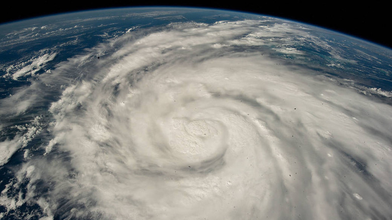
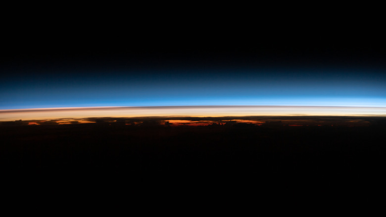
If you follow space news, then you've likely seen some of the stunning images of Earth as it appears from space. Sometimes these pictures are taken by spacecraft — like the famous pale blue dot photo which was snapped by the Cassini spacecraft — and sometimes they are taken by satellites that orbit the planet. But other times the more close-up images are taken by people: the astronauts aboard the International Space Station (ISS).
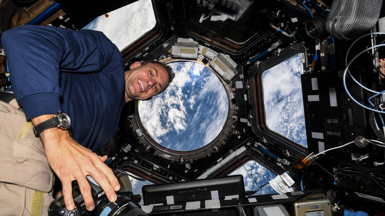
The ISS orbits the Earth at around 250 miles above the surface, giving astronauts there an incredible view of the planet below. But there's an art to capturing a gorgeous view of our planet as seen from space, and NASA has shared some details on how it's done. The ISS needs to be protected from impact, radiation, and other space hazards, so it doesn't have many windows. But it does have one special area, called the cupola, which has seven windows facing all different directions so that astronauts can stand there and enjoy the views of space all around them and the planet below.
Astronauts typically take their images from the cupola, using regular handheld digital cameras. And NASA encourages the astronauts to spend time admiring and photographing the Earth, as research has shown that this activity boosts the astronauts' mental health and wellbeing.
Images are used for science research
The images that astronauts take from on the ISS aren't only for enjoyment though. They can also be an important tool for scientific research. NASA has a program called Crew Earth Observations (CEO) which takes the photos snapped by the astronauts and makes them public. They can then be used for all sorts of purposes, from creating popular maps to monitoring glaciers. One important style is the images that crew members take at night. These show areas like cities where there are so many lights that they're visible even from space, and they can be used to monitor light pollution.
The images are also used to track bird migration, through a program called Aviation Migration Aerial Surface Space (AMASS). The photos are so important for both the crew and the researchers that NASA astronaut Donald Pettit created a guide called the Astronauts' Guide to Photography in Space with advice for astronauts on how to take the best possible pictures.
"There's a scientific aspect, particularly of the Earth observation photography," Pettit told Time. "[The photos become] a scientific data set because we have pictures of, say, changes in the Amazon River over more than a decade now. These photographs augment the satellite database because a person taking a picture sees things that are different than what a satellite is programmed to take pictures of."
Photos taken from outside the space station
As well as photos from inside the space station, there are also frequent ones taken from outside the station — although these aren't captured by human observers. The ISS has instruments on its exterior which are fitted with cameras, like the Earth Surface Mineral Dust Source Investigation (EMIT) which has a type of instrument called a spectrometer which can detect the presence of mineral dust in the Earth's atmosphere.
There also the ECOsystem Spaceborne Thermal Radiometer Experiment on Space Station (ECOSTRESS), which takes infrared images of the Earth's surface, showing regions which get hotter during the day — showing, for example, the urban heat island effect whereby cities get more hot than other regions because structures like roads and buildings absorb heat from the sun.
Another tool on the ISS, called SAGE III-ISS (the third generation of the Stratospheric Aerosol and Gas Experiment), also looks at the planet's atmosphere and checks on the gases and small particles which impact the atmosphere. Previous generations of the experiment helped to show effects like how human behavior was contributing to the hole in the ozone layer, and how the amount of ozone in the atmosphere stopped decreasing after the ban on chemicals called chlorofluorocarbons (CFCs) in the 1970s.
Finally, one special instrument on the ISS is called the Sally Ride EarthKAM, named after iconic American astronaut Sally Ride. The instrument takes publicly available images of Earth, and the data is used by school children, who can request images of particular areas on the planet.


